House restumping and reblocking in Wonthaggi and Bass Coast
For house restumping or reblocking in Bass Coast, the permit page we found is not the Council's own. The business.gov.au ABLIS building permit page for Bass Coast says you apply through "a registered building surveyor, either private or municipal", and that a building permit cannot be issued until a relevant planning permit, if required, is obtained. It does not mention restumping. It lists a 2026-27 lodgement fee of $142.10 for private surveyor documentation. The surveyor sets their own fee, and no restumping-specific fee appears on any page we found. We did not read the Council's own building page, and we could not confirm whether Bass Coast has a municipal surveyor. All checked 6 November 2026.
So whether your house needs a permit is a question for a registered building surveyor, appointed by the owner or the owner's agent. Our building permit guide compares the four councils. We are a referral service: your enquiry goes to a builder who works in Bass Coast, and you ask which registration class they hold and check it on the Building and Plumbing Commission register. Reblocking and restumping are used together in Victoria, as explained on the house reblocking page.
Wonthaggi and Inverloch at the 2021 Census
The two towns are very different. The figures are ABS 2021 Census QuickStats for each suburb and locality, with small random adjustments, and the Wonthaggi figure excludes North Wonthaggi. "Unoccupied" means unoccupied on census night.
| Place | People (median age) | Private dwellings | Separate houses | Owned outright | Rented | Unoccupied on census night |
|---|---|---|---|---|---|---|
| Wonthaggi | 5,215 (55) | 2,817 | 85.8 per cent | 45.6 per cent | 28.9 per cent | 301 (11.3 per cent) |
| Inverloch | 6,526 (54) | 4,689 | 91.1 per cent | 55.0 per cent | 17.8 per cent | 1,833 (40.8 per cent) |
| Bass Coast Shire | 40,789 | 28,938 | 91.4 per cent | 46.7 per cent | 20.6 per cent | 10,831 (39.4 per cent) |
Wonthaggi had a median weekly household income of $852 at the 2021 Census, and Inverloch a median weekly household income of $1,286. The gap between the two unoccupied shares is the striking part: 1,833 of Inverloch's 4,689 private dwellings were unoccupied on census night, against 301 of Wonthaggi's 2,817. That count includes holiday houses, but the ABS page does not say how many, so it is a pointer and not a tally of absent owners.
Wonthaggi was founded in 1910 after the State Coal Mine was set up, with its post office renamed Wonthaggi on 1 August 1910, according to an encyclopedia entry (secondary source). The mine operated from 1910 to 1968, and a tent city came before permanent buildings. Inverloch's post office opened as Anderson's Inlet on 1 September 1883 and was renamed in 1889 (encyclopedia entry for Inverloch). It was a port for Wonthaggi coal, beside an estuary of about 2,400 hectares. None of this says how old any house is.
Inverloch's dune loss and the coastal planning line
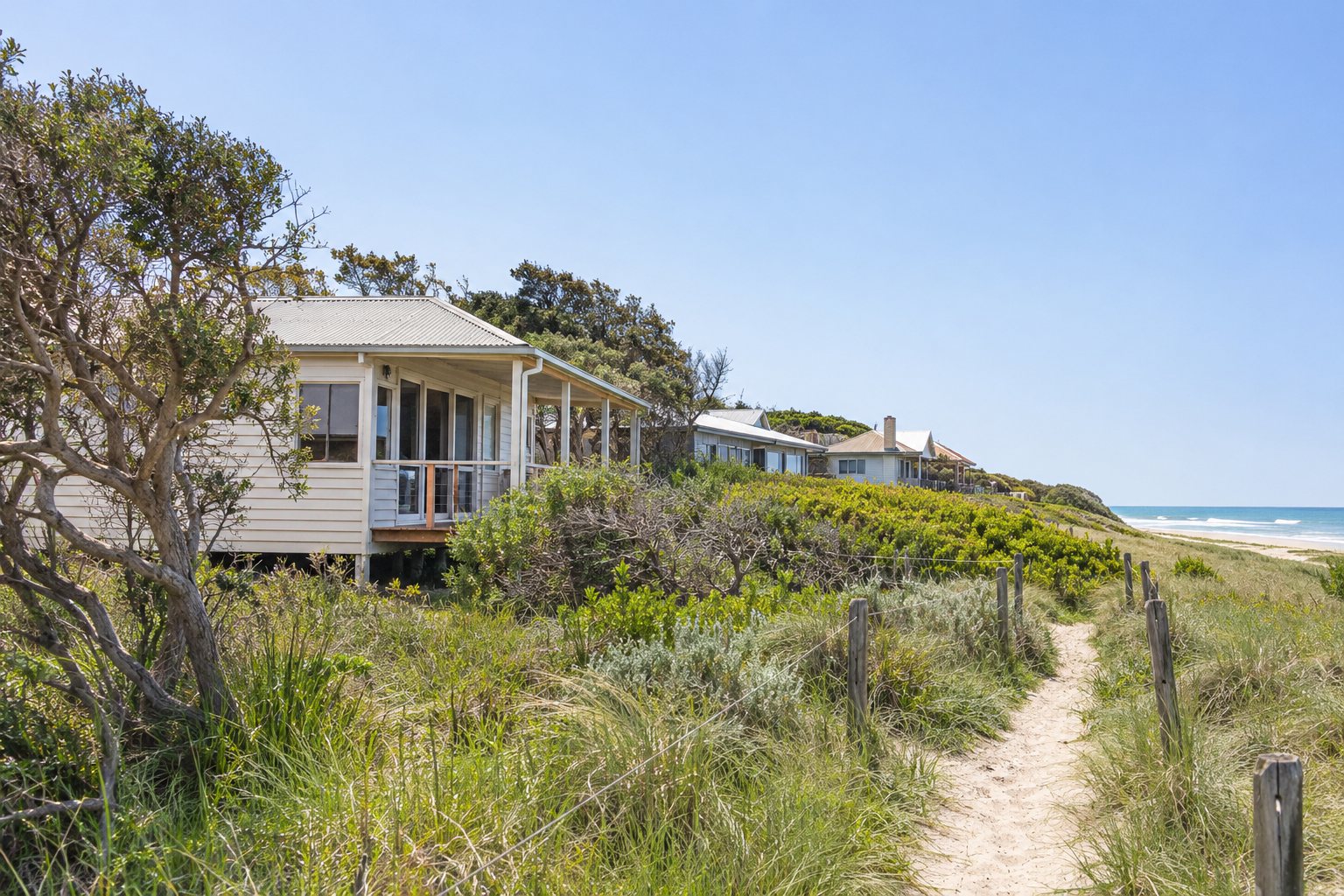
Inverloch Surf Beach has lost over 70 metres of foreshore dunes since 2012, according to the Council's Inverloch coastal management page. The page describes sandbag wall works near the surf club scheduled from 24 November 2025 to 15 March 2026, funded by the state at $700,000, extending the wall by about 150 m. Dune restoration and nourishment is described as due from February or March 2026, and the council page gives both months. We have not seen a completion report, so treat the works as scheduled, not confirmed done.
Another council's page, Wellington Shire's coastal communities page, says councils must plan for a minimum 0.8 m of sea level rise. The Bass Coast Inverloch page is about the beach and the dunes. It does not say whether any house is affected, or what that means for the stumps under one. We have deliberately left out newspaper projections of how many properties could be reached, because they are secondary and dated. If you own a house near the beach, ask the Council and the surveyor what applies to it; the flood and overlay guide explains the general controls.
Floods in Wonthaggi, and what is under many Inverloch houses
Victoria SES says Bass Coast has a history of flooding, with significant events in July 2007 and May 2012 affecting Wonthaggi, Kilcunda and Dalyston (SES flood guide for Bass Coast). Local flood guides are listed for Inverloch, the Lower Powlett River and Wonthaggi, and the SES says coastal areas can flood when high tides combine with storm surge and onshore winds (local flood information page). We found no overlay extent for either town and we do not say any street is or is not under one.
The soil survey for the Inverloch unit is the nearest ground description we found for the district. It says the unit is widespread on the Tertiary sediments of south Gippsland, with very dark grey clay loams to gravelly loams at the surface, and clays below a bleached zone "from sandy clay to heavy clays". It adds variably cemented "coffee rock" at about 40 to 50 cm (Inverloch soils entry). That is a soil description, not a building class, and it makes no statement about shrinking, swelling or waterlogging. For Wonthaggi we found no soil description, because the page we fetched had no content.
Wonthaggi's weather station has a mean of 939.3 mm a year (rainfall record 1911 to 2026), with August the wettest month at 102.4 mm and February the driest at 45.3 mm (Wonthaggi climate table). That is well above the 606.1 mm mean of the closed Sale station, which stopped recording in 1945. No source we found links rainfall to house restumping, so ask the builder for the programme in writing and see the soils and subfloor guide for the station figures.
Holiday houses at Inverloch: owner away, builder on site
Some Inverloch houses are used part of the year, so the logistics matter. If you live elsewhere, the owner or the owner's agent still appoints the building surveyor, and a builder cannot appoint one for domestic building work under a domestic building contract. Settle who holds the key, ask the builder to photograph the subfloor and send the written quote and programme to you before you agree, and keep every variation in writing. The Cowes and Phillip Island page works through that sequence in more detail.
The choice of stump material is a separate matter, and no fetched source says whether steel or concrete does better beside the sea. We found no source on steel at the coast, so ask the builder and the surveyor, and read the stump material guide.
What to send, and what to ask
Send the town, whether the house is lived in or a holiday house, what you have noticed and whether the subfloor can be entered. Ask for an itemised written quote and for the programme in writing. Send your details when you are ready.
Other areas we cover: Bairnsdale, Paynesville and Lakes Entrance; Cowes and Phillip Island; Leongatha, Korumburra and Mirboo North; Sale and Maffra.
What this page cannot tell you
It cannot tell you whether your Bass Coast house needs a building permit, because the ABLIS page does not mention restumping and we did not read the Council's own building page. It cannot say whether a coastal, flood or heritage overlay covers your street, how old your house is, or what the clay and coffee rock under it do. It also cannot say whether the Inverloch beach works have finished. Ask a registered building surveyor and the Council, and ask the builder which registration class they hold and whether it is on the register.
Check the current rules before you rely on this
This page describes house restumping and reblocking in Wonthaggi and Inverloch, with the permit, flood, coastal, ground and census facts we could verify. It describes the rules in general terms as they stood in November 2026, checked 6 November 2026. Standards, forms, thresholds and fees change.
The authoritative sources are Business.gov.au (ABLIS), building permit, Bass Coast Shire Council (not the council's own page), Bass Coast Shire Council, Inverloch coastal management (Surf Beach dune loss and works), Victoria SES, flood guide: Bass Coast Shire Council, ABS 2021 Census QuickStats: Inverloch (suburb and locality) and Bureau of Meteorology, Wonthaggi climate statistics (station 086127). Where anything here differs from those sources, they are right and we are not.
We are not builders, building surveyors, regulators or lawyers. For what applies to your job, ask the builder which registration they hold and check it on the Building and Plumbing Commission register, then ask a registered building surveyor and your council what is needed. Contract, deposit and payment rules change by 1 December 2026.
Accurate at the time of writing, November 2026. Always check the source before relying on it.