House restumping in Sale: what Wellington Shire's page says
If you own a house in Sale and want house restumping or reblocking done, the council page matters before the builder does. Wellington Shire Council's building permits page is the only council page we found, in four shires, that names the job. It lists "Reblocking or restumping of an existing building: Permit Required." The same page says Wellington Shire Council does not issue building permits and that building permits are issued by private building surveyors. That is the council's own wording, quoted as we found it when we checked 6 November 2026. We add nothing to it.
The page does not mention underpinning or relevelling, and it does not say how a part job is treated. Who appoints the surveyor is a separate rule. The Building and Plumbing Commission says only the owner, or the owner's agent, may appoint a private building surveyor, and a builder cannot appoint one for domestic building work under a domestic building contract (see the Commission's surveyor page). Our building permit guide sets out the four councils side by side.
We are a referral service. We pass your enquiry to a builder who works in the Sale area, and the builder quotes and does the work. Ask which registration they hold and check it on the Building and Plumbing Commission register before you agree to anything.
Sale and Maffra at the 2021 Census
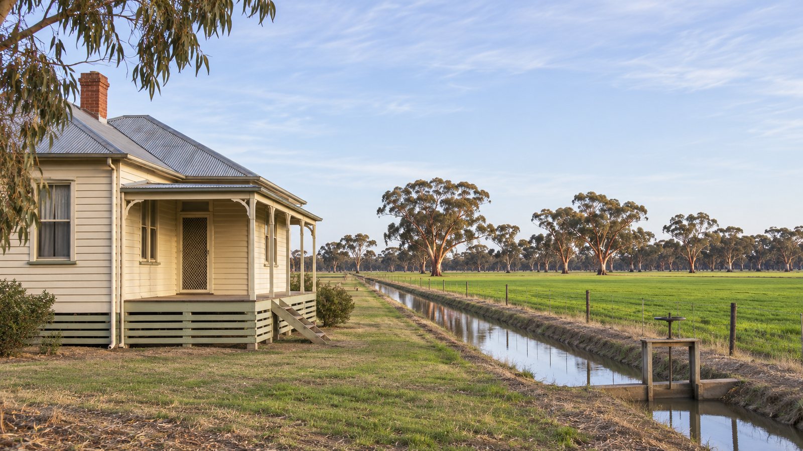
Sale and Maffra are the two Wellington Shire towns with their own census pages, and both are mostly separate houses. The figures below are from the ABS 2021 Census QuickStats for each suburb and locality, which apply small random adjustments. "Unoccupied" means unoccupied on census night.
| Place | People (median age) | Private dwellings | Separate houses | Owned outright | Rented | Unoccupied |
|---|---|---|---|---|---|---|
| Sale | 14,296 (42) | 6,731 | 84.5 per cent | 35.4 per cent | 32.8 per cent | 644 (10.0 per cent) |
| Maffra | 5,384 (42) | 2,445 | 92.9 per cent | 39.6 per cent | 21.5 per cent | 199 (8.5 per cent) |
Sale had a median weekly household income of $1,327 at the 2021 Census, and Maffra a median weekly household income of $1,285. Wellington Shire as a whole had 45,639 people and 23,503 dwellings. About one Sale home in three was rented, so a good share of Sale houses have a landlord who decides about the subfloor. If that is you, the owner still appoints the surveyor, and the tenant's access is something to settle with the builder before a date is set.
The ground under Sale and Maffra houses
The agricultural soil descriptions we found for the Maffra and Sale plains describe clayey, pervious land that is often waterlogged in the low spots, and they say nothing about building site classes. The Victorian Resources Online entry for the land system covering the river plains says surface materials are "mostly clayey and pervious but may be silty or sandy, particularly in the east". It also says waterlogging is a feature of lower-lying soils, that the land is on active flood plains, that topsoils are typically clay loams over clay subsoils and that the soils are "susceptible to compaction, particularly when wet".
The survey of the irrigation district around Maffra says that soil depth, permeability and sodicity are three characteristics of particular importance, and that the river flats and terraces are used for intensive irrigated farming (Maffra soils survey). Neither page says anything about how the ground moves under a house. Only a soil test classifies a site. Our soils and subfloor guide explains what the surveys cover and where they stop.
For weather, the only Sale station we could read is a closed one. The closed Sale station recorded rainfall from 1870 to 1945, with a mean of 606.1 mm a year, October the wettest month at 63.0 mm and July the driest at 41.5 mm. Do not read that as Sale's rainfall today. For comparison, the Wonthaggi station has a mean of 939.3 mm. No source we found links rainfall to the timing of house restumping, so ask the builder for the programme in writing.
Flood overlays, the authority and Amendment C125well
Wellington Shire's planning scheme currently applies the Land Subject to Inundation Overlay and the Floodway Overlay, and the Council's flood page says there are extensive areas of the municipality subject to riverine and coastal flooding. It does not list towns or levels. The West Gippsland Catchment Management Authority is the floodplain manager, its advice typically sets requirements such as building floor heights, and the Council says free flood advice is available from the authority before you lodge anything. Whether your street is covered is a question for the surveyor, the Council and the authority, not for this page.
The Council is also updating these overlays through Amendment C125well, described on its amendment page. The amendment is in progress and its dates may change. The Council's pages give conflicting consultation dates, so check them rather than relying on any date we could print. The page says a ministerial decision is expected in mid to late 2027, and that the updated overlays include land predicted to be inundated by future sea level rise. Status checked 6 November 2026.
Victoria SES has local flood guides for Sale, for Maffra with Riverslea and Bundalaguah, for Stratford and for the Gippsland Lakes, listed on its Wellington Shire page. The same page says Thomson Reservoir, Glenmaggie Weir and Cowwarr Weir can impact flooding in areas below them, and records the June 2007 east coast lows. The encyclopedia entry for Sale (an encyclopedia entry, a secondary source) describes the town as built on a floodplain at the edge of a wetland system, with significant floods in 1978, 1990 and 2007. For how overlays, authorities and surveyors fit together, see the flood and overlay guide.
Heritage, history and the areas around Sale
The Council's heritage page says a planning permit is usually required for external buildings and works to a place listed in the Heritage Overlay, that interior works usually are not, and that its Heritage Advisor is the person to speak to (heritage and planning permits page). It does not mention restumping, and it does not list the Sale or Maffra precincts. If your house is old and near the centre of either town, ask the surveyor whether an overlay applies.
According to an encyclopedia entry, Sale was gazetted in 1851, became a borough in 1863 and gained a railhead in 1879, and offshore oil found in 1965 made it the service and residential base for the region. Maffra's post office opened on 20 July 1864 and its railway station in 1887 (encyclopedia entry for Maffra). It sits 17 km north-west of Sale. These dates are context, not house ages.
Enquiries also reach the smaller places around Sale: Heyfield, Stratford, Rosedale, Wurruk, Longford, Loch Sport and Seaspray, all in Wellington Shire. A 2013 regional residential report (now old) covered growth planning at Wurruk and Longford, and its figures are dated, so we publish none. The Council's coastal communities fact sheet is the page to read for Loch Sport and Seaspray. It says councils must plan for a minimum 0.8 m of sea level rise, and that homes already built or nearing completion will not be affected. Planning enquiries on the Council's pages go to 1300 366 244.
What to send, and what to ask the builder
Send the town or locality, whether the house is lived in or rented, what you have noticed (a sloping floor, doors that stick, cracks) and whether the subfloor can be entered. Photos of the floor and of gaps at the skirting help. Ask for an itemised written quote, ask who applies for the permit if one is needed, and ask what is included for plaster and doorframe repairs. For price drivers, read the cost guide. If the job is a whole house, the house reblocking page explains the word and the full job. Send your details when you are ready.
Other areas we cover: Bairnsdale, Paynesville and Lakes Entrance; Cowes and Phillip Island; Leongatha, Korumburra and Mirboo North; Wonthaggi and Inverloch.
What this page cannot tell you
It cannot tell you whether your Sale or Maffra house needs a building permit, because the one Wellington Shire line we quote is general and we are not building surveyors. It cannot say whether a flood or heritage overlay covers your street, how old your house is, what the ground under it does, or how long the work will take. Ask a registered building surveyor, the Council and the catchment authority, and ask any builder which registration class they hold and whether it checks out on the Building and Plumbing Commission register.
Check the current rules before you rely on this
This page describes house restumping in Sale, Maffra and Wellington Shire, with the permit, flood, ground and census facts we could verify. It describes the rules in general terms as they stood in November 2026, checked 6 November 2026. Standards, forms, thresholds and fees change.
The authoritative sources are Wellington Shire Council, building permits (lists 'Reblocking or restumping of an existing building: Permit Required.'), Wellington Shire Council, land subject to flooding, Wellington Shire Council, Amendment C125well, updated flood provisions (the Council's own pages give conflicting consultation dates), Victoria SES, flood guide: Wellington Shire Council and ABS 2021 Census QuickStats: Sale (suburb and locality). Where anything here differs from those sources, they are right and we are not.
We are not builders, building surveyors, regulators or lawyers. For what applies to your job, ask the builder which registration they hold and check it on the Building and Plumbing Commission register, then ask a registered building surveyor and your council what is needed. Contract, deposit and payment rules change by 1 December 2026.
Accurate at the time of writing, November 2026. Always check the source before relying on it.